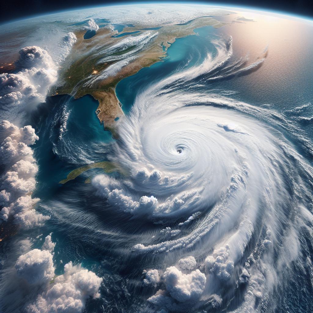
Hurricane Watch Issued For Part Of Florida’s Coast
In an urgent weather update, the National Weather Service has issued a hurricane watch for part of Florida’s coast, anticipating the burgeoning Tropical Depression Four to intensify into Tropical Storm Debby. The storm warning comes as the depression, currently spiraling near Cuba, is forecasted to gain strength and manifest into a potential Category 1 hurricane by Sunday night or early Monday.
The Forecast: Tropical Depression Four Turns Into Debby
Major hurricane alerts have been communicated for parts of Florida, as weather experts project Tropical Depression Four to morph into Tropical Storm Debby. The impending system is anticipated to be at or near hurricane intensity before making landfall in Florida’s Big Bend region.
Gusty winds, coastal flooding, and substantial rainfall are expected to affect the Florida Peninsula over the weekend. As the storm moves towards the Southeast coast, it might slow down or even stall, potentially escalating the impacts throughout the area.
A Hurricane Watch in Effect
A hurricane watch has been activated from Aucilla River to Yankeetown, in Florida’s Big Bend. This means that hurricane conditions are possible in this area within the next 48 hours. Simultaneously, Tropical Storm warnings and watches stretch from the Keys to north of Tampa Bay and into the easternmost Panhandle region, indicating that Tropical storm conditions are expected within 36 hours.
To complement hurricane watch and tropical storm warnings, a storm surge watch has also been issued for the west coast of the Florida peninsula from Bonita Beach to Aucilla River, including Tampa Bay and Charlotte Harbor. Prospective life-threatening storm surge is predicted to affect this region.
Weather Pattern Tracker
Presently, Tropical Depression Four is centered near Cuba, charting a west-northwest direction. Bands of rainfall extending from the depression have started to impact southern Florida, leading to the early onset of the weather impacts harbingered by this system.
The storm is expected to make landfall within Florida’s Big Bend region by Sunday night or early Monday. Post landfall, it is projected to move towards the Southeast coast, potentially intensifying if it remains over water. The possibility of this system stalling near the Southeast coast could lead to prolonged impacts, specifically rain flooding.
The Anticipated Impacts
Heavy rainfall, leading to flash flooding and isolated river flooding, is one of the main concerns of this system. The rainfall totals could potentially reach up to 5 to 10 inches across Florida and the Southeast coast, with local areas witnessing up to 15 inches by Thursday morning.
Moreover, coastal flooding from storm surge is an additional concern, especially on the western coast of Florida. The surge could potentially reach 3 to 5 feet above normal tide levels if the peak surge coincides with high tide in Florida’s Big Bend.
The eventual system’s track across Florida might cause sporadic power outages or tree damage due to stronger wind gusts. Strong winds and the possibility of isolated tornadoes add another layer of potential threat over the weekend.
It is urged that people stay updated with the latest weather forecasts and prepare for potential hazards in the coming days.

Author: STAFF HERE MYRTLE BEACH
The HERE Myrtle Beach Staff Writers are a collaborative team of journalists, editors, and local contributors passionate about delivering accurate, timely information to the Myrtle Beach community. As part of the HEREcity.com Network, which powers over 100 U.S. city sites including HEREcolumbia.com, our staff draws on collective experience in South Carolina journalism to cover everything from business sales and real estate developments to dining deals and community initiatives. Our Expertise and Background Local Roots in Myrtle Beach Our team includes lifelong Myrtle Beach residents and SC natives with deep knowledge of the area’s history, economy, and culture. We’ve covered key events like the recent developments along the Grand Strand, Myrtle Beach’s tourism and hospitality industry, and growth in local education sectors (e.g., Coastal Carolina University programs). Collective Experience With over 50 combined years in journalism, our staff has backgrounds in print, digital media, and community reporting. We prioritize fact-based stories, drawing from sources like the Myrtle Beach Area Chamber of Commerce, city government records, and on-the-ground interviews. Commitment to Quality Every article is a group effort, involving research, editing, and verification to ensure reliability. We adhere to journalistic standards, citing credible sources and updating content as new details emerge.


