MYRTLE BEACH, S.C. — Drivers along the Grand Strand should watch for standing salt water around midday Friday, Oct. 30, when a coastal flood advisory takes effect for Myrtle Beach and the rest of coastal Horry and Georgetown counties from 10 a.m. until 2 p.m.
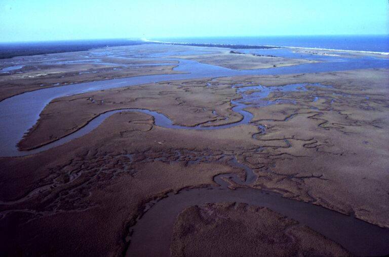
Forecasters with the National Weather Service office in Wilmington, N.C., expect as much as a foot of water above ground in low spots near the shoreline and along tidal waterways. Causeways leading to the beaches, roads that sit low, and property along the Intracoastal Waterway and nearby tidal creeks are the places most likely to see minor flooding.
The tide gauge at Springmaid Pier in Myrtle Beach is forecast to peak around 11 a.m. at 7.8 feet above mean lower low water, past the 7.0-foot level where minor flooding begins. Another high tide reaching 7.7 feet is expected near midday Saturday.
Heavy rain or strong wind could push water into spots beyond the usual problem areas. Allow extra travel time, expect a few road closures, and never drive around barricades or into water when the depth is unknown. Even 12 inches of fast-moving water can carry off most cars.
Filed under: Myrtle Beach SC Weather News